0.5 m terrain · samples
Five places, one viewer
Each sample is a 2.4 km square of real elevation and aerial photo at true scale, opened in the same 3D viewer. Pick a terrain to explore it.
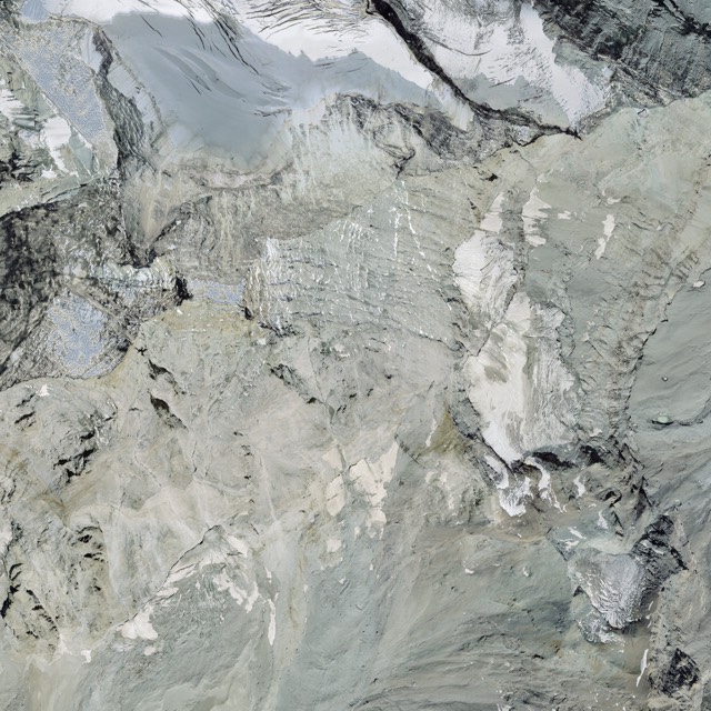
Matterhorn
Zermatt, Valais, Switzerland. High alpine peak, glaciers and ridges, 2828–4477 m.
swissALTI3D 0.5 m, SWISSIMAGE 10 cm · ©swisstopo
Open the viewer →
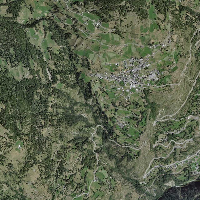
Törbel village
Valais, Switzerland. Terraced village on a steep slope: houses, barns, lanes and fields.
Data ©swisstopo
Open the viewer →
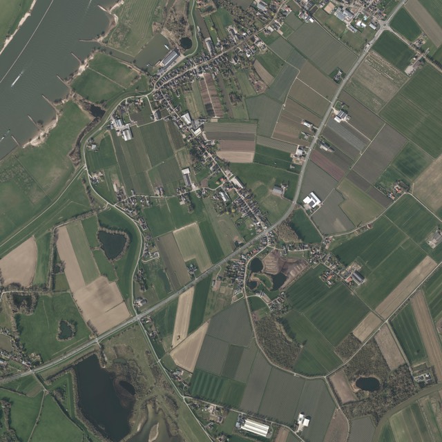
Waal floodplain
Gelderland, Netherlands. Flat river plain: dikes, ditches, farms and hedgerows.
Data AHN, Beeldmateriaal Nederland
Open the viewer →
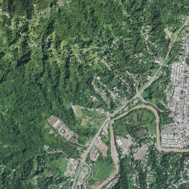
Cordillera Central forest
Central Puerto Rico. Steep wet-tropical forest: dense canopy, ravines, roads and scattered houses.
USGS 3DEP lidar, USDA NAIP
Open the viewer →
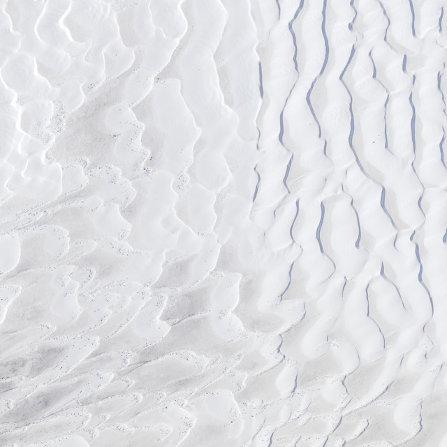
White Sands dunes
Southern New Mexico. Gypsum dune field: bare crescent dunes and interdune flats.
USGS 3DEP lidar, USDA NAIP
Open the viewer →